Navigate with Confidence. Explore Without Limits.
HOW TO USE

1 Map, 3 Ways to View

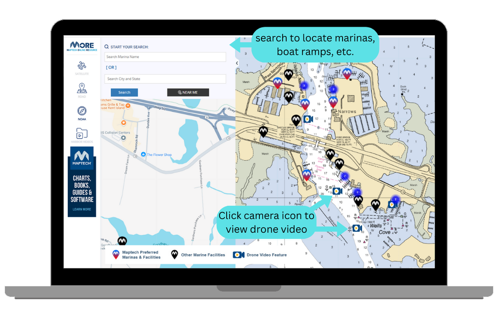 Clustered groups of facilities are shown as circles. A number indicates how many marine facilities are within each cluster. Individual facilities can be viewed by zooming in.
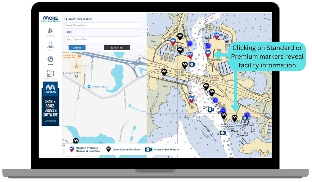
- Premium facilities are indicated by red & blue teardrop-shaped pin icons.
- Standard facilities are indicated by black teardrop-shaped pin icons.
- Clicking on Premium (red & blue) or Standard (black) pins will display facility information for that location. Premium pins will also include links to the facility's website.
- You can also click on the magnifying glass in the upper left and search by facility name or city and state.

- Click Harbor Videos then choose the state for a list of helpful drone approach videos.
- On the map video icons direct you to a harbor's dynamic aerial or water-level approach video.
TRY IT NOW!